From Gibraltar, Africa had been visible across a narrow stretch of water. What had crossed the Strait had not vanished. Some of it remained in buildings, objects, names, music and memory.
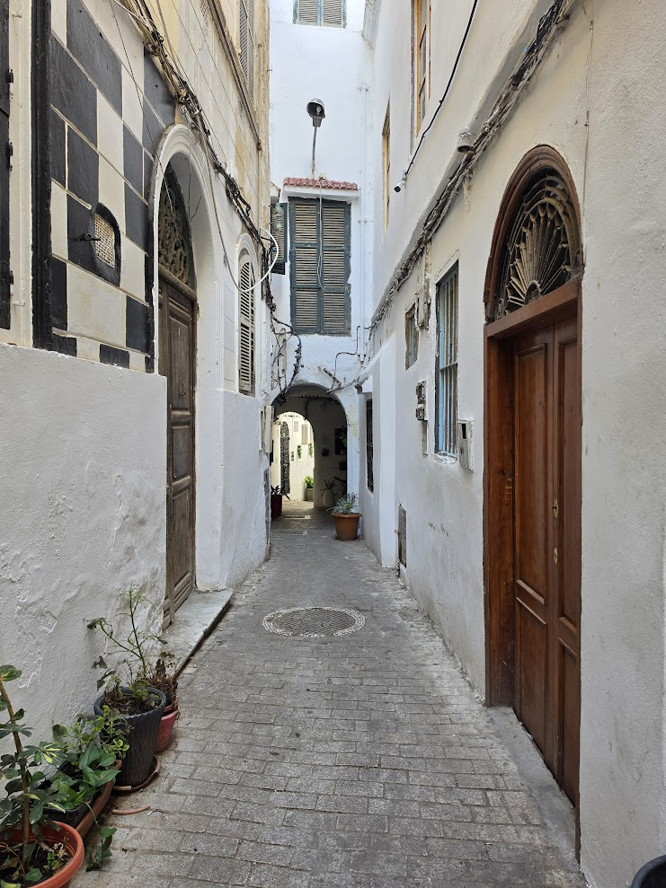
I entered Tangier without a checklist capable of producing what followed. Much of the material that became important appeared while I was simply walking.
The Old Medina became the method: turn a corner, look through a doorway, listen, ask a question, keep going.


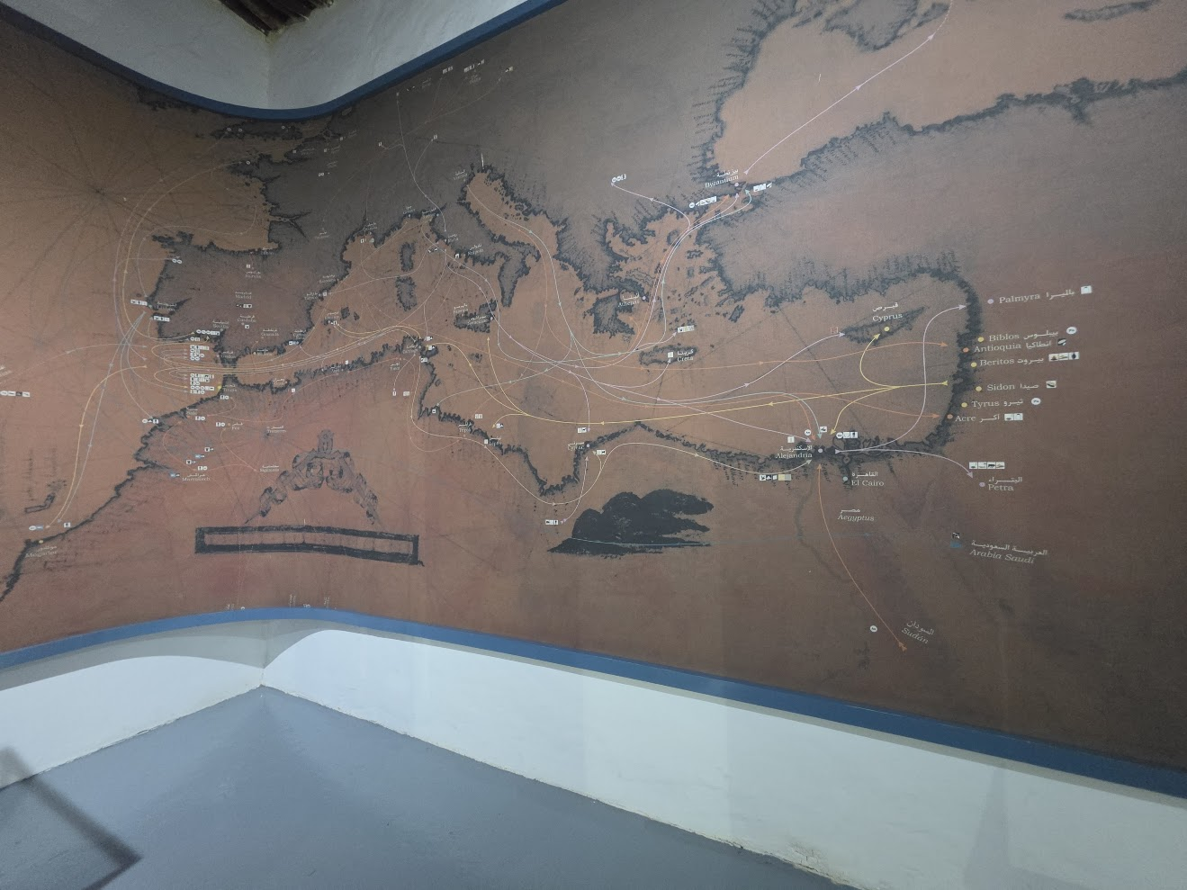
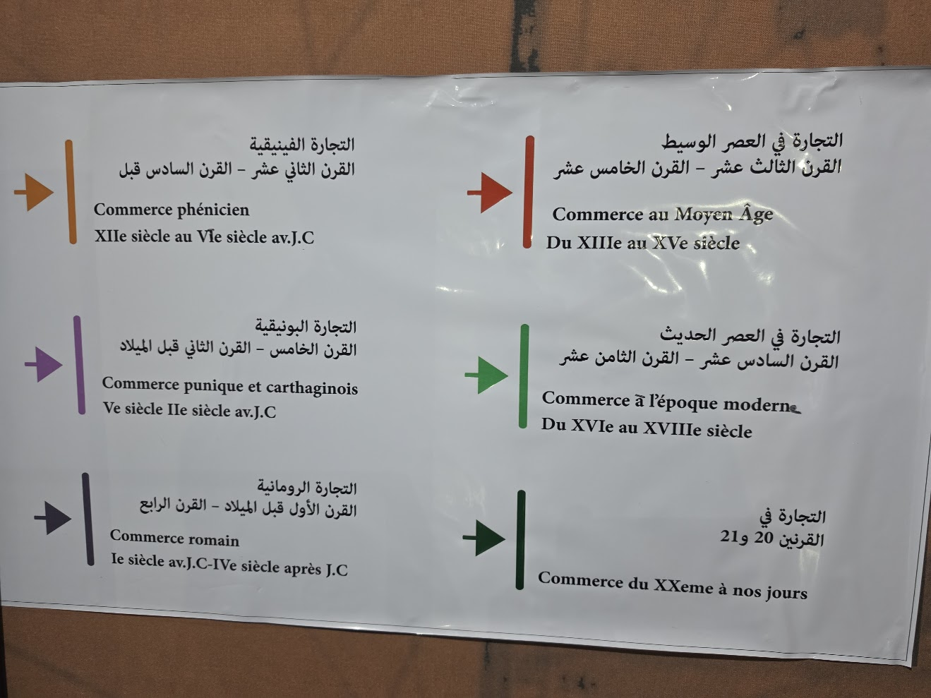
Arrows cross Morocco, Iberia, the Mediterranean and beyond. The display places northern Morocco inside overlapping networks rather than at the edge of them.
People moved. Goods moved. Knowledge moved. The Strait was not simply a boundary. It was part of the route.
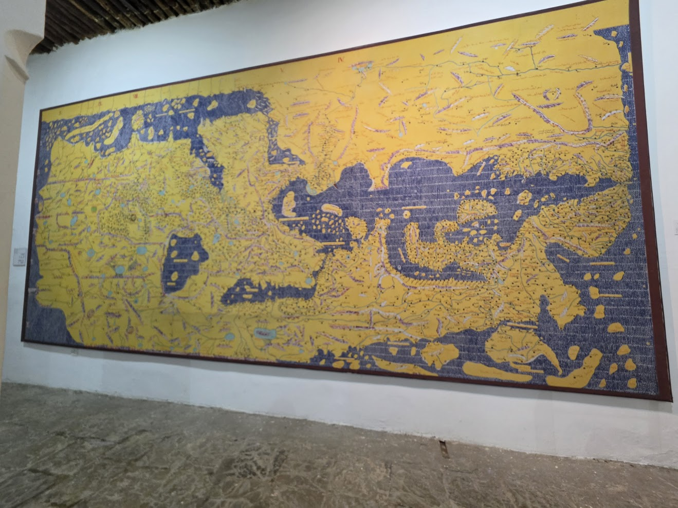
The Kasbah Museum also displays the world map associated with the geographer al-Idrisi, produced in 1154 for Roger II of Sicily.
To modern eyes it looks upside down because south is at the top and north at the bottom. That orientation was common in medieval Islamic cartography.
For this journey, the map matters less as an oddity than as another product of exchange: knowledge gathered across languages, cultures and the Mediterranean.

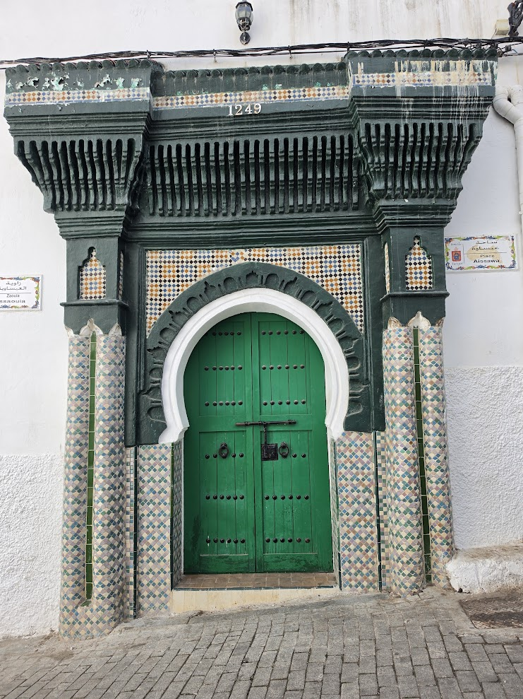
I did not go looking for a lesson in coexistence. I found a synagogue, a Catholic mission, and the doors of mosques while wandering the same streets.


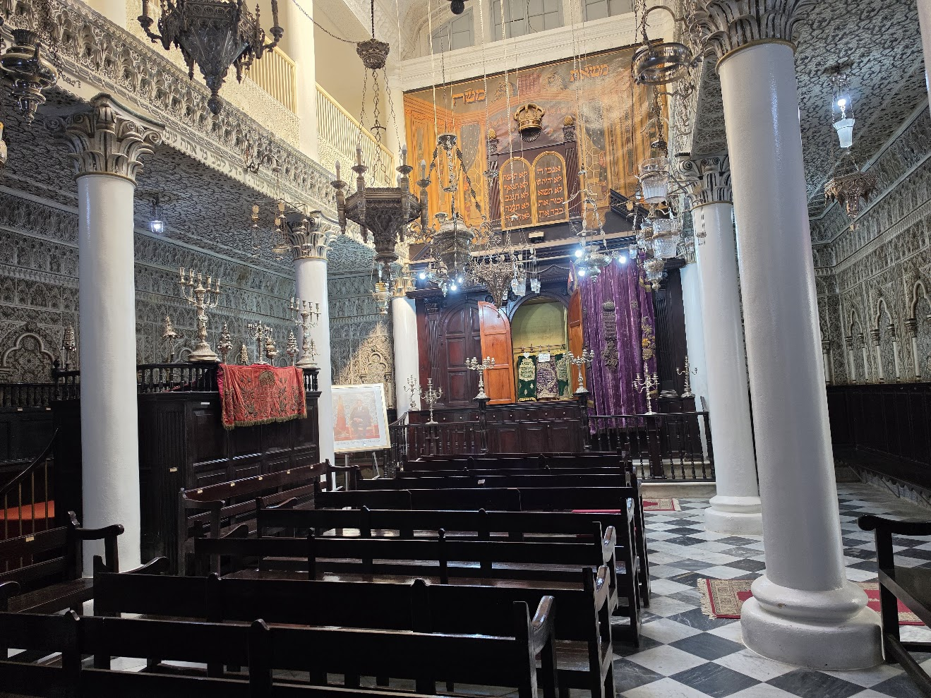
I stumbled upon the synagogue while wandering the Old Medina. The woman at the desk told me it is no longer in use, but is preserved by descendants of the community. A commemorative poster and a booklet titled Brief History of Jewish Tangier kept that history in view—not as archaeology alone, but as memory maintained by people connected to the community.


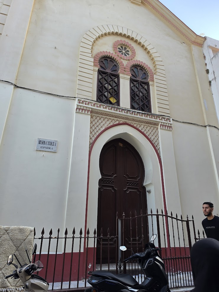
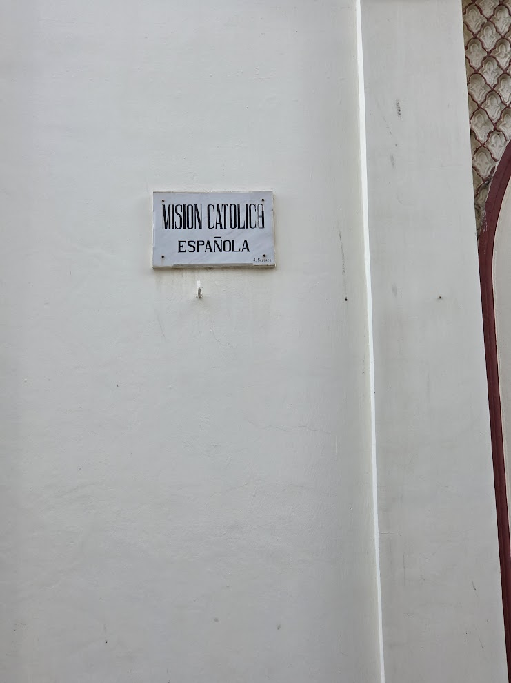
The Catholic mission is run by the Missionaries of Charity, the religious order founded by Mother Teresa. A sister who answered when I rang the bell told me the community had been operating there for at least twenty years and serves mothers and babies.


A mosque is first a place of worship: daily prayer, Friday prayer and religious instruction. In Morocco, mosques are also understood to have cultural and social functions within the community. Those can include strengthening community ties, reconciliation and care for people in need.
What had crossed the Strait had not vanished. Some of it remained in buildings, objects, names, faith and memory.
The crossings were audible, too.
One sound carried Andalusian echoes across the Strait; the other drew from Gnawa traditions rooted in North and West African histories. Tangier held both in the same afternoon.

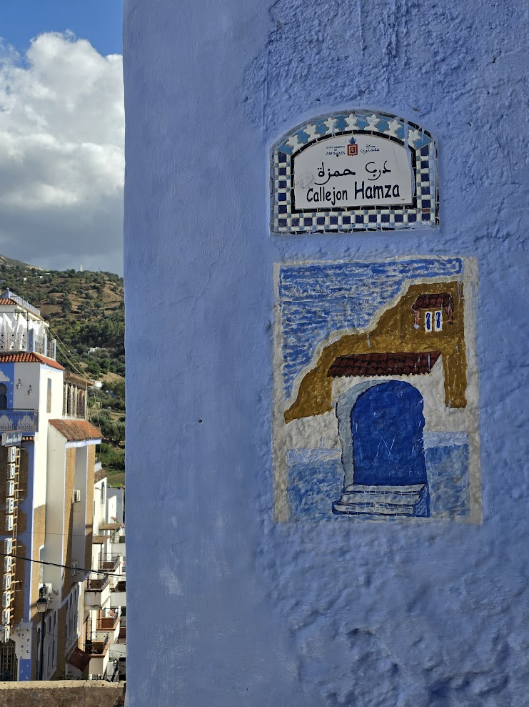
I went looking for traces of the crossings I had been following across Iberia and northern Morocco. In Chefchaouen, much of that history was difficult to see beneath the tourist surface.
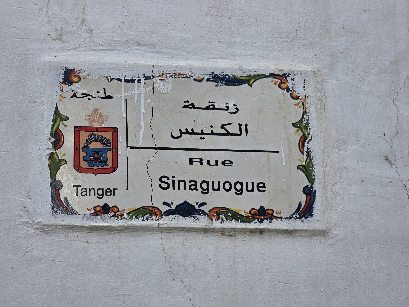
Yet Spanish remained on the street signs and on people’s tongues. Signs marked callejones—alleyways—beside Arabic names, a reminder that even when the past is difficult to see, it can remain embedded in language.

In Gibraltar, I stood on one side of the Strait looking toward Africa. Today, in Tangier, I’m standing on the other side looking back toward Europe.
It’s only a narrow stretch of water, but people, languages, beliefs, and traditions have been moving back and forth across it for centuries.
Two continents. One deeply connected history.
The crossings were all around me—in the museum maps, the synagogue, the mission, the music and the streets.
Tangier was not simply the other side of the Strait. It was part of the same story.
These notes distinguish personal observation, recorded conversations, museum interpretation and historical reference. A field photograph records what was visible during the visit; a caption or display does not by itself establish every claim about the past.
The chapter draws on Fe Bencosme’s October 2026 observations, photographs and recordings in Tangier and Chefchaouen. Statements about the synagogue and the Missionaries of Charity are attributed to conversations during the visit, rather than an institutional survey.
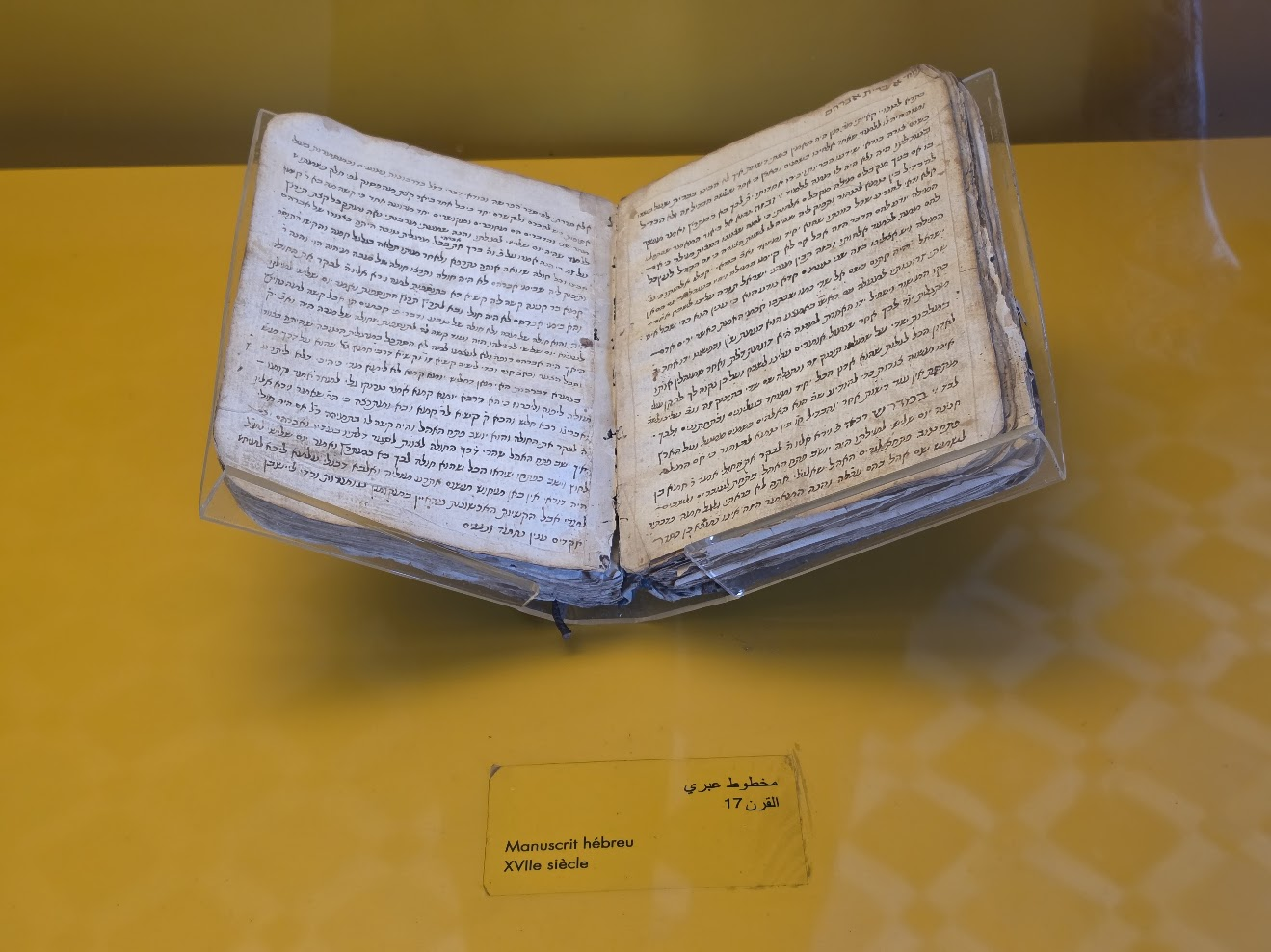
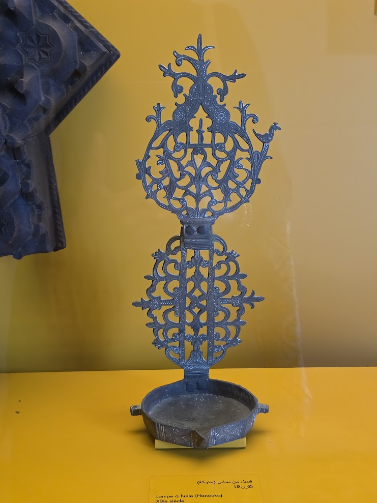
The Kasbah Museum maps, Hebrew manuscript and Hanukkah lamp are recorded as displayed objects. The chapter’s description of the 1154 al-Idrisi map follows the display; the photographed map should not be mistaken for an original twelfth-century manuscript.
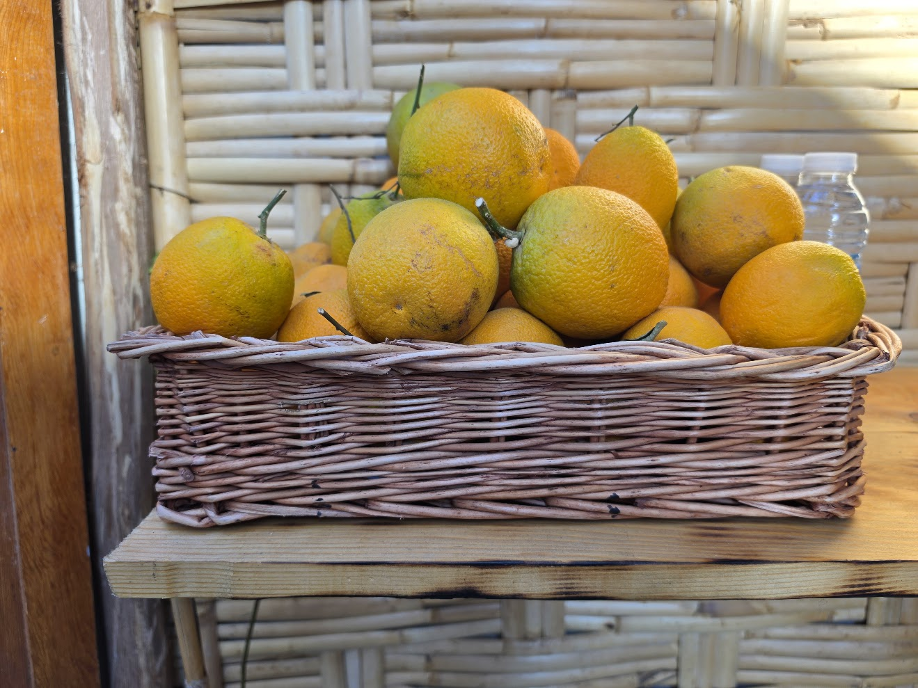
Musical descriptions identify what was heard and the traditions discussed in the chapter; stylistic resemblance alone does not establish a single route of transmission. The citrus map is a simplified narrative route, not a complete botanical history; citrus varieties have different histories. Spanish signs and spoken Spanish in Chefchaouen are observations, not proof of a particular family’s ancestry.
Existing captions identify the field photographs, museum displays and recorded performances, including Abdul Wahid. The orange-route illustration is explanatory. Museum interpretation and personal reflection remain distinct from independently established historical claims.